The Apps You Absolutely Need To Have To Explore São Miguel Island
São Miguel can be a paradise. but you should adjust your plans to its conditions
Luís - Azores Travelers
Azores, Portugal

The weather can change really fast, the trail you wanted to do can close overnight, or a lot other unforeseen circunstances may happen.
If you don't prepare to these, you might waste an entire day. And that's the last thing you would want to do in your trip.
After living on São Miguel my entire life, I've chosen the most helpful digital apps and websites that will actually help you from those incoveniences and will save you from all the ruined plans they might cause.

Weather and Cloud Tracking ☁️
Weather in all islands of the archipelago of the Azores is really unpredictable. Before planning your day, I advise you to check at least two of the following apps/websites:
📸 SpotAzores - spotazores.com
Real-time visuals from all the 9 islands of the Azores. Before heading out to a certain place, I recommend you to check if there's a webcam nearby it (also use Google Maps, to see locations) and see how's the weather there.
Naturally, you have to have a sense of where those cameras are placed, otherwise you won’t be able to use that information. Therefore, the ideal is that you use SpotAzores together with Google Maps, to understand which camera is closest to the place you want to visit.
You have acess to webcams of all the most popular places in São Miguel, such as Sete Cidades, Mosteiros, Lagoa do Fogo, Furnas; and a lot more, so don't forget to check this app!
💨 Windy App - windy.com | IOS | Android
Windy is a powerful, interactive, and highly visual weather forecasting service, used by professionals and outdoor enthusiasts to track, analyze, and predict weather conditions, particularly wind.
It provides real-time, detailed data, including forecasts, live wind maps, 3D globes, and satellite imagery, for activities like sailing, flying, surfing and others.
On the right, you'll have the various options of things you can track. Choose what you're interested into.
Down, you can set the time you want to check the weather.
☁️ Windguru - www.windguru
Windguru is an app specialized in forecasting weather, initially created with windsurfers and kitesurfers in mind, but that is used by a lot of people in the Azores islands to decide when to go hiking/fishing/go up a mountain/etc.
It can be daunting to try to understand Windguru at first, but it is really not that complicated.
You can use it mostly to decide where and when to go hiking in the Azores islands, and these are the parameters that you need to pay most attention to:
Cloud Cover (%) High/Mid/Low: this basically tells you if it is worth it to go hiking in high places. The results are displayed as a percentage and at three altitudes (high, medium and low). The higher the number, the more covered the terrain is at that altitude, and the cell where the result is displayed is painted in a darker gray.
Wind Speed and Wind Direction: these two parameters are also critical when deciding when and where to go hiking in the Azores. Basically, the stronger the wind the more dangerous it is to go hiking. Moreover, the direction of the wind is also of high importance. For instance, if you want to go on a hike down the north shore of the island, and the wind is blowing South, it means that you will be completely exposed to the wind, which can be dangerous. If the wind blows to the North, you will be protected by the island itself.
Actually, I didn’t use to care about any of this stuff (for me every day was a good day to go hiking) but believe me, nature can really be a tremendous force in the Azores islands and it's not smart to ignore it.
If you want to do a trail in the middle of the island, where the altitude is higher, choose a day when the numbers of Cloud Cover are low and are displayed in white or light gray. If the numbers are high and dark gray, it’s not worth doing a trail in the center of the island because you won’t see much. It is better to choose a path by the sea.
🇵🇹 IPMA (Instituto Português do Mar e da Atmosfera) - ipma.pt
Portugal’s official weather service. More accurate than Apple or Google weather apps, so don't forget to also check it.
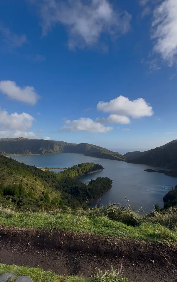
Hiking and Navigation 🥾
🥾 Azores Trails - trails.visitazores.com
Azores Trails is an exceptional resource for outdoor enthusiasts looking to explore the natural beauty of the Azores.
Offering a comprehensive selection of the official hiking routes across all nine islands, Azores Trails provides detailed maps, trail information, and helpful tips for every level of adventurer.
Whether you’re trekking through lush forests, climbing volcanic peaks, or walking along dramatic coastal cliffs, the app and website offer insights into the most scenic and accessible trails.
Azores Trails also highlights points of interest, local flora and fauna, and safety guidelines, ensuring that visitors can enjoy the stunning landscapes responsibly.
🎒 Wikiloc - www.wikiloc.com | IOS | Android
Definitely one of the best hiking apps. It features thousands of trails - from official PR routes to secret hikes. Yes, some uploads are unreliable, but with filters and reviews you can always find the right one.
🗺️ Maps.me - IOS | Android
Maps.me is an app that works as an offline map.
Download São Miguel before you land, and you’ll always have hikes ready - even without phone signal.
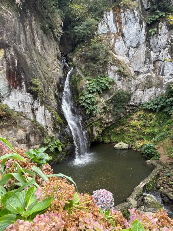
Safety & Trail Updates 🚨
Yes, your trip to São Miguel can be the best ever, but you need to be sure everything is safe. When you go hiking, there are always some risks, such as landslides, sudden storms or falling rocks. Don't underestimate it.
🛡️ProCiv Azores App - IOS | Android
The official Civil Protection app. Features:
Connects to European Emergency Number 112 (sends GPS automatically);
Live IPMA weather alerts;
Civil Protection warnings (fires, storms, landslides);
Updates on closed roads and trails;
Emergency guidelines in English, Portuguese, French, and German.
⚠️ Alerts: Azores Trails - trails.visitazores.com/alerts
This webpage, as you already know is the best source for official PR trails on the Azores islands.. It shows which hikes are open and which are closed.
💡 IMPORTANT TIP: Always check trail status here before your hike. Closed means closed - fines apply, and conditions can be dangerous.
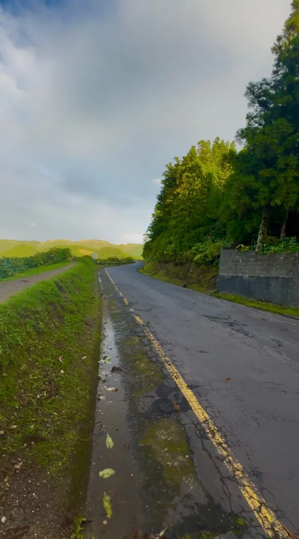
Transportation 🚗
Taxis 🚕
Taxis are readily available in Ponta Delgada and other major towns, providing a convenient way to travel short distances or reach specific destinations. While taxis are generally more expensive than other forms of transport, they are ideal for quick trips or when you prefer a door-to-door service.
You can use the following website or call the phone number to book a taxi: +351 296 109 109
Buses 🚍
For those looking to explore the island at a slower pace, the public bus system is an affordable and reliable option. Buses connect major towns and tourist attractions, although schedules may be limited, especially in more remote areas.
Rental Cars 🚘
Rental cars are perhaps the most flexible way to discover São Miguel, allowing you to explore the island at your own pace. With several rental agencies available, having a car is particularly helpful if you want to visit more remote areas, such as the volcanic craters or hidden coastal spots.
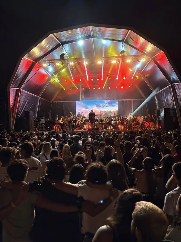
Culture & Events 🎭
On the following webpages, you'll be able to check if there's any concerts/festivities/exhibitions or others in Azores during your trip dates!
Cultural Calendar of the Azores - culturacores.azores.gov.pt/agenda
Azores Events - azores.com/azores/travel-tips/events-calendar
FINAL ADVICE 📝
The biggest mistake turists make? Lack of preparation.
They arrive on São Miguel, wake up the next morning, and only then start checking weather or transportation. By then, the clouds have moved, buses are gone, or the trail they wanted is closed.
And here’s how to avoid it:
Download all apps at home and before your flight: Don’t rely on airport WiFi;
Save links offline: Phone notes, Google Maps folder or screenshots;
Check webcams and closures the night before: Plan ahead; don’t plan in the morning;
Always have a Plan B. If weather doesn't allow to do what you had first planned, then switch to Plan B and you won't waste your time.
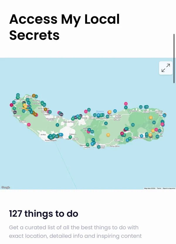
💡 TIP: If you want to save yourself days of planning and research, my São Miguel interactive guide gives you hidden gems, must-see hikes, diverse hotels and restaurants options, offline navigation and much more. It's a life of exploring São Miguel into one map - a true shortcut to seeing the best of the island without wasting time planning.

Cerchi attività?
Dai un’occhiata alla mia guida per scoprire le migliori attività gratuite, itinerari e consigli di viaggio per rendere il tuo viaggio indimenticabile.