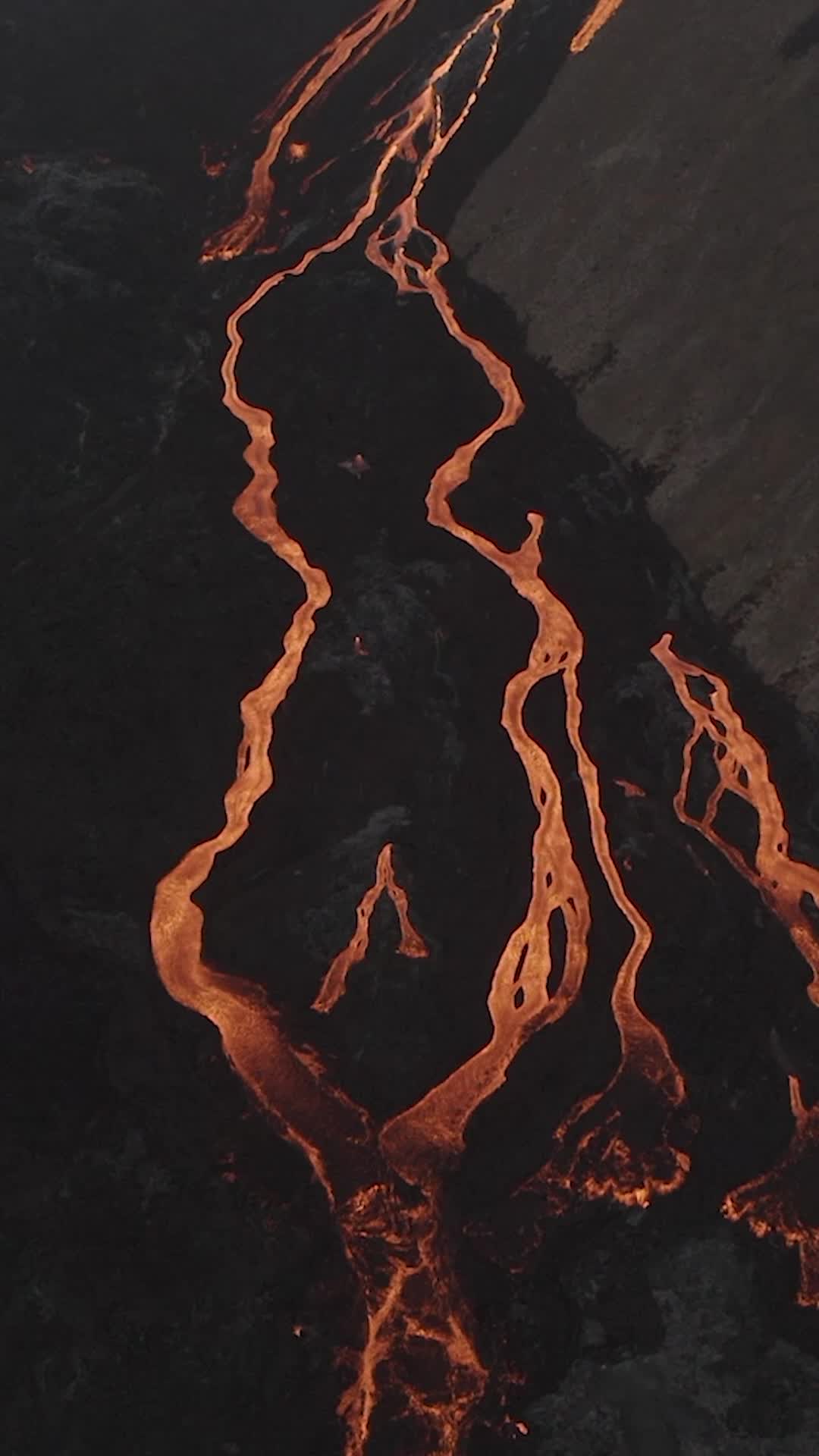
Hike

Get access to see location
Hike to the Eruption
Category
Activity level
Age requirement
12 and older
Message from
Rúrik Gíslason
Want to see more?
I have created an interactive travel guide to help people travel like me. Used for 10+ trips
Nearby local secrets

Tours
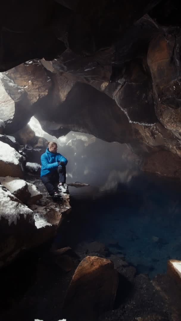
Katla Ice Cave Midgart Adventure
Amazing ice cave

Hotel
Heydalur
Farm hotel

Culture
Ósvör Maritime Museum
Maritime Museum

Activity
Svalvogar
Iceland's sketchiest road

Waterfall
Dynjandi
The magnificent waterfall

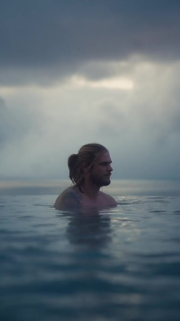
Hot Spring
Sky Lagoon
Hot infinity lagoon

Hotel
Hótel Berg
four-star boutique hotel
Sightseeing
Dimmuborgir
Dramatic expanse of lava fields, caves and nature

Activity
Borea Adventures
Sea Kayaking

Activity
ATV tour in Reykjanes
ATV Tour

Tours
North Sailing - Húsavík Whale Watching
Whale Watching on wooden ship

Tours
Myvatn Snowmobile Reykjahlíð
Experience the thrill of snowmobiling

Sightseeing
Get access to see location
lava rock pool
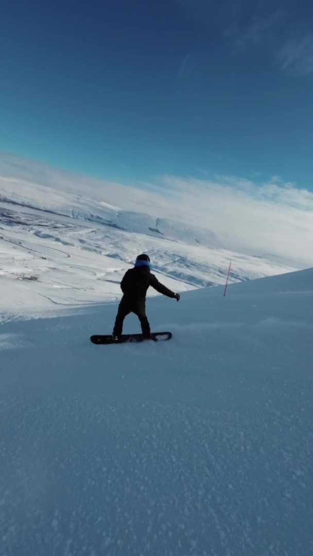
Activity
Get access to see location
Ski in north of Iceland
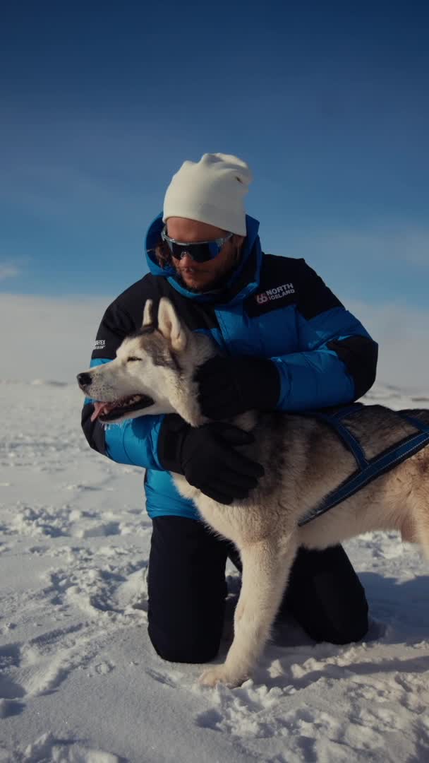
Tours
Get access to see location
Dog sledding
Sightseeing
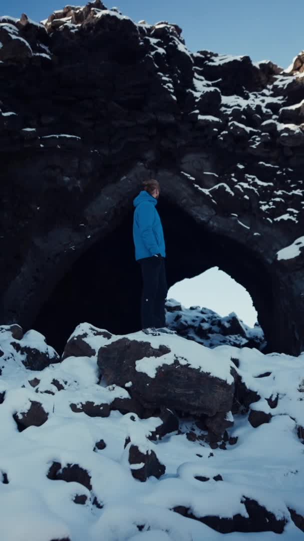
Get access to see location
Hidden Gem
Hot Spring
Geosea - Geothermal Sea Baths
World-class geothermal bathing experience

Spa
Get access to see location
Unique Beer Spa

Sightseeing
Get access to see location
Iceland´s largest mud pool
Creators are the next-gen
travel advisors and operators
Planning your trip through social media? Now, easily access travel advice and tours created by the world's best travel content creators