远足

获取查看位置的权限
Hike to the Eruption
类别
活动水平
年龄要求
12 岁及以上
消息来自 Rúrik Gíslason
想看更多?
我创建了一个互动旅行指南,以帮助人们旅行 像我这样的。用于 10+ 旅行
Nearby local secrets

旅程
注册以查看位置
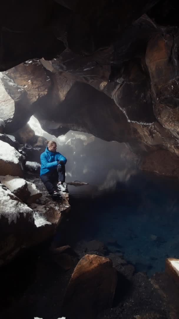
Amazing ice cave

酒店
注册以查看位置
Farm hotel

文化
注册以查看位置
Maritime Museum

活动
注册以查看位置
Iceland's sketchiest road

瀑布
注册以查看位置
The magnificent waterfall

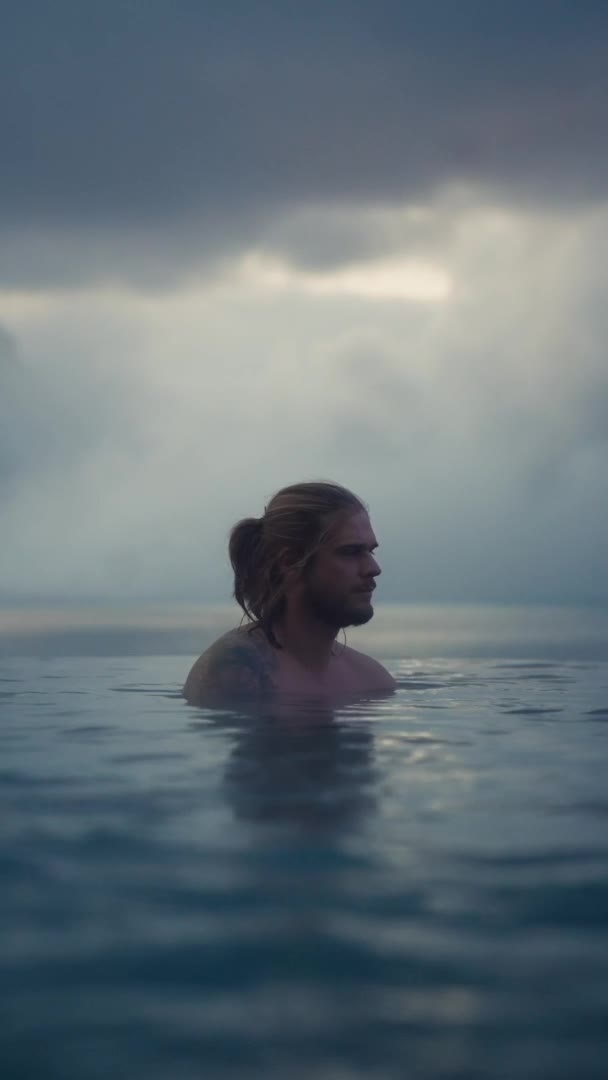
温泉
注册以查看位置
Hot infinity lagoon

酒店
注册以查看位置
four-star boutique hotel
观光
注册以查看位置
Dramatic expanse of lava fields, caves and nature

活动
注册以查看位置
Sea Kayaking

活动
注册以查看位置
ATV Tour

旅程
注册以查看位置
Whale Watching on wooden ship

旅程
注册以查看位置
Experience the thrill of snowmobiling

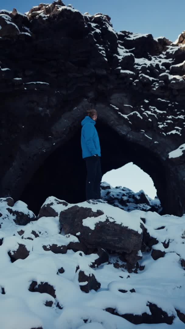
观光
获取查看位置的权限
lava rock pool
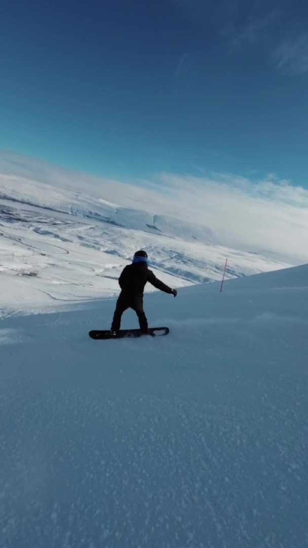
活动
获取查看位置的权限
Ski in north of Iceland
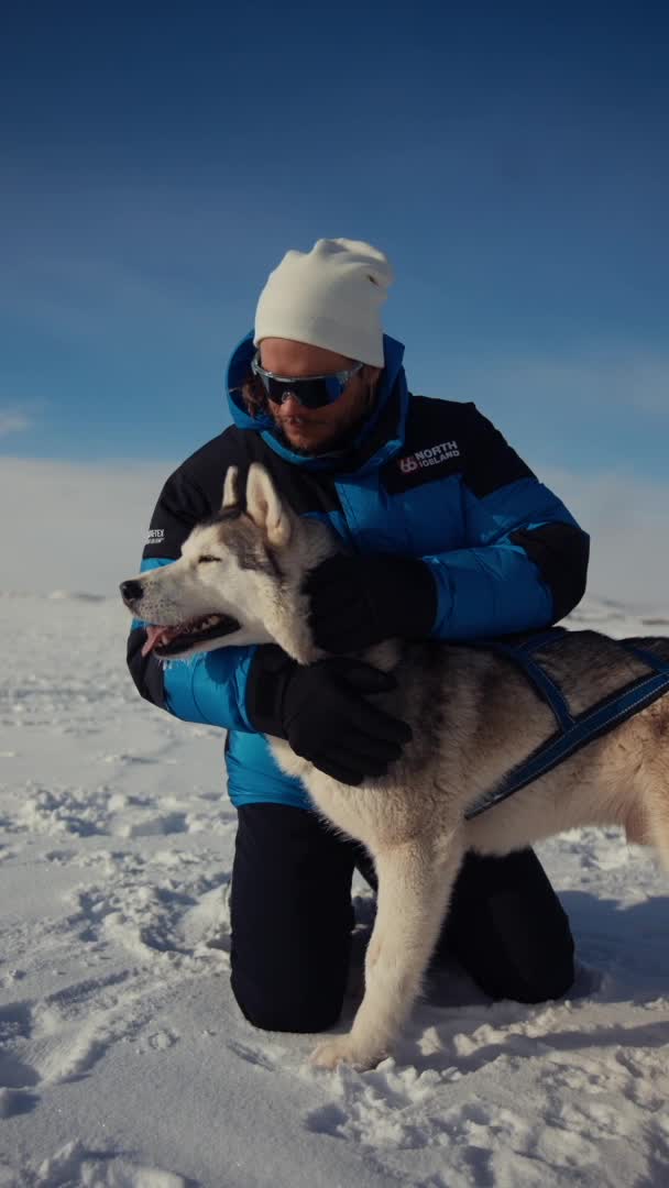
旅程
获取查看位置的权限
Dog sledding
观光
获取查看位置的权限
Hidden Gem
温泉
注册以查看位置
World-class geothermal bathing experience

温泉
获取查看位置的权限
Unique Beer Spa

观光
获取查看位置的权限
Iceland´s largest mud pool
Creators are the next-gen
travel advisors and operators
Planning your trip through social media? Now, easily access travel advice and tours created by the world's best travel content creators